
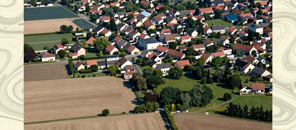
On a map, a field beside a town can look like an empty space waiting for a decision. On the ground, it is also soil, habitat, drainage and part of a lived territory. ZAN—zero net artificialization—puts land use and the effects of development at the center of planning discussions, but it does not make every place or decision identical.
Look beyond the map color
A land-use map can show where development has occurred or is planned, but its categories do not tell the whole story of a site. Soil condition, biodiversity, water movement and the surrounding pattern of settlement may all matter to how a place is understood. Reading those layers together gives planners and residents a more grounded starting point than treating land as a blank surface.
Connect regional and local choices
Territorial planning links choices made at different scales: a broad planning framework meets the specific constraints and needs of a locality. A housing or infrastructure question may involve land consumption, existing buildings, access and the character of nearby soils. ZAN is best approached through that set of relationships, not as a slogan detached from place.
Check the legal context
Conceptual explanations can help clarify the debate, but they do not establish the current legal requirements for a plan or project. For legal questions, consult the official texts in force and check their status and date. The useful habit is simple: understand the territory first, then verify the rule that applies to the decision at hand.